(Magyar összefoglaló a végén)
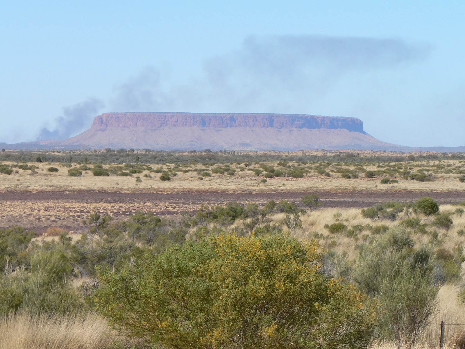 |
| Mt Conner |

We set up camp at the Kings Canyon Resort campground, a similar touristy establishment to the one in Yulara. A nice (and expensive) place well located in a little valley so as not to spoil the natural landscape views.
 |
| The George Gill Range from the resort |
 |
| The climb to the top |
 |
| Kings Canyon |
 |
| The waterhole |
 |
| The Garden of Eden |
 |
| Kings Canyon |
 |
We got back to the car park around 12.30, just in time to get home for lunch, then we spent the afternoon resting and recuperating from the morning excursion. Late afternoon we met in the camp with a couple from Sydney, Dick and Jen, and had a good chat with drinks before dinner. I knew Dick from work for over 15 years, it was a pleasant surprise to have met him here in the middle of the continent.
 |
| Kathleen Springs |
 |
| The Canyon from below |
We were back at the camp by lunchtime for another quiet afternoon of resting and reading, plus some household works.
Tuesday, 11 Sep, Alice Springs - We left the Kings Canyon Resort early and travelled to Alice Springs, through the Lasseter and Stuart Hwy, about 500 kms. We got here by about 1.30 pm for a late lunch, a bit of rest, then a quick drive-around the town centre, looking for some important business, such as a hair cut for Kate that was well overdue, and some shopping as well. It seems we came back to the summer weather, at least at lunchtime there was 30 degrees in the van - we'll see what happens during the night...
Our itinerary can be seen at the following Google Map:
http://g.co/maps/wcwv8
(Note that to see the route after Bowen, you need to move down to the bottom of the left panel, and select the following pages!)
Szombaton utaztunk a következő állomásra, Kings Canyon-ba. Ez kb 330 km-el arrébb van, közben többször változott a táj, sivatagos, aztán fás-szavannás, és végül megjelentek a George Gill Range hegyvonulatai. A legnagyobb érdekesség az uton az volt, hogy végre láttunk egy csapat vad tevét (mármint vadon élő), amit már nagyon régen emlegettek. Állítólat több millió él a kontinens belsejében, de eddig még egyet sem láttunk. Ezek egész közel az út mellett legelésztek a fák között, de sajnos túl gyorsan mentünk ahhoz hogy fényképet csináljunk róluk. Később megálltunk a King Creek Station-nél, ahol marha mellett tevéket is tartanak (vadon befogott tevéket tenyésztenek, exportra), itt tudtunk fényképet is csinálni a turistáknak tevegelésre ajánlott állatokról. A Kings Canyon resort kempingben szálltunk meg, és délután csak itt pihentünk, és estefelé körülsétáltuk a területet.
Vasárnap délelőtt mentünk a canyon-hoz, egy 6 km-es körútra a kanyon felső peremén, amihez persze előbb fel kellett mászni oda, több mint 100 m magasra, és fönt is jó sok kisebb fel-le mászás volt benne, elég nehéz út volt, de sok szépet láttunk, megint érdekes szikla-formákat, növényeket, a kanyon teljesen függőleges falait. Egy helyen félig lementünk a kanyon-ba, ahol egy szűk völgy alján összegyűlik és megmarad a víz, körülötte sűrű szinte trópikus növény-erdő, úgy hívják hogy az Éden kertje. Jó fárasztó út volt, szerencsére aznap reggel éppen kicsit felhős volt az ég, ami nagy ritkaság itt, hideg szél fújt, így könnyebb volt mint nagy melegben. Dél felé visszaértünk a kempingbe, délután pihegtünk és nyalogattuk a sebeinket. Estefelé találkoztunk egy házaspárral, a férfit jól ismerem vagy 15 éve a munkán keresztül, jól elbeszélgettünk velük egy pohár bor mellett.
Hétfőn is itt maradtunk a King Canyon resort-ban, délelőtt csináltunk még két könnyebb rövid sétát, előbb a Kathleen Springs-hez, aztán vissza a Kings Canyon-hoz, a völgy alján a kiszáradt meder mentén sétáltunk be a kanyon belsejébe, ahol alulról is megnézhettük a látványt.
Kedden indultunk tovább Kings Canyon-tól, egy jó délelőtti utazással eljutottunk Alice Springs-be, a Red Centre "fővárosába". Ez egy elég nagy város, kb 23 ezer lakossal. Délután csak gyorsan körülnéztünk és elintéztünk néhány sürgős tennivalót, pl Katinak hajvágást ami már nagyon esedékes volt, és egy kis bevásárlást. Most egy pár napig itt maradunk, körülnézünk és felkészülünk a következő kalandokra.
Az útvonalunk a következo Google Map-on látható:
http://g.co/maps/wcwv8
(A Bowen utáni szakaszokhoz le kell menni a baloldali panel aljára, és a következo oldalakra kattintani!!)
No comments:
Post a Comment